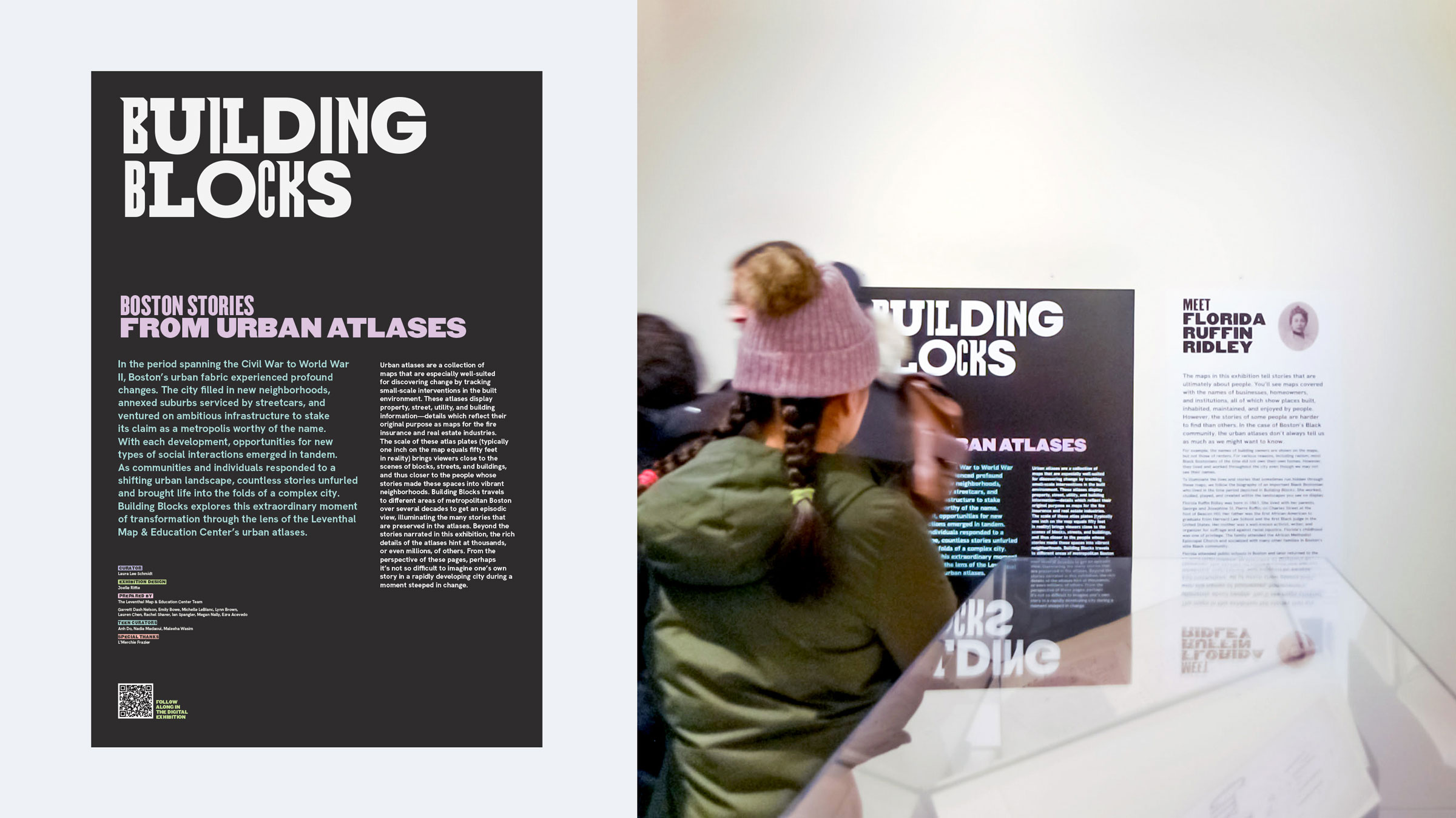
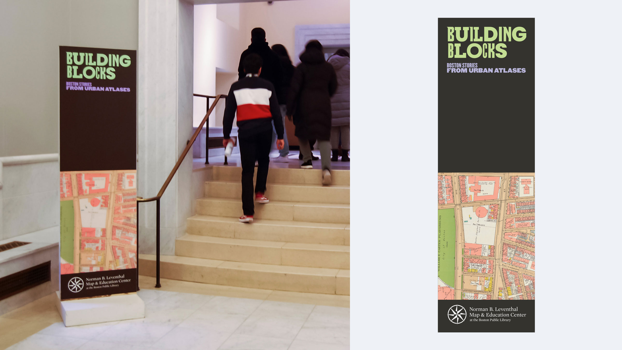
Building Blocks: Boston Stories from Urban Atlases

Exhibition Design Translating Historic Urban Atlases for Public Audiences
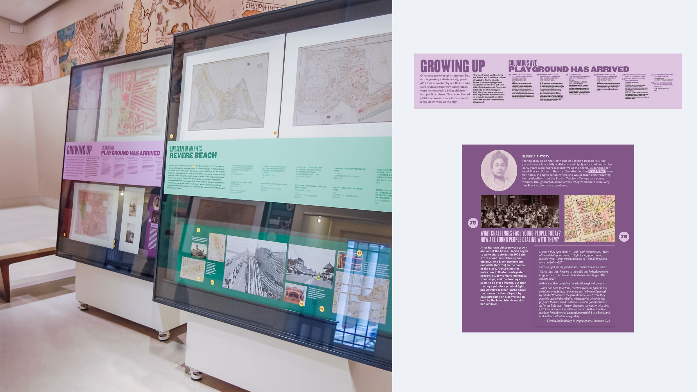
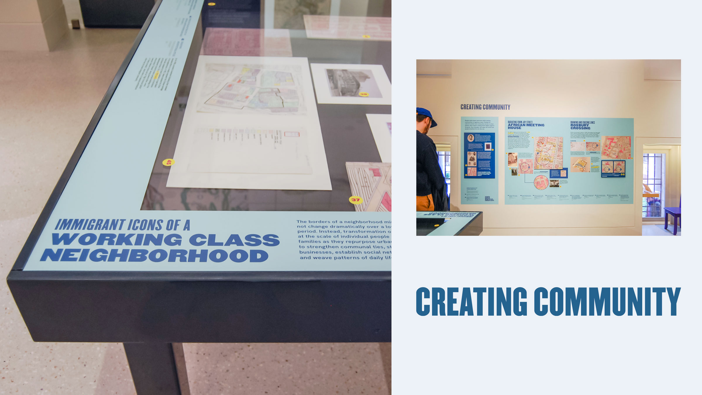
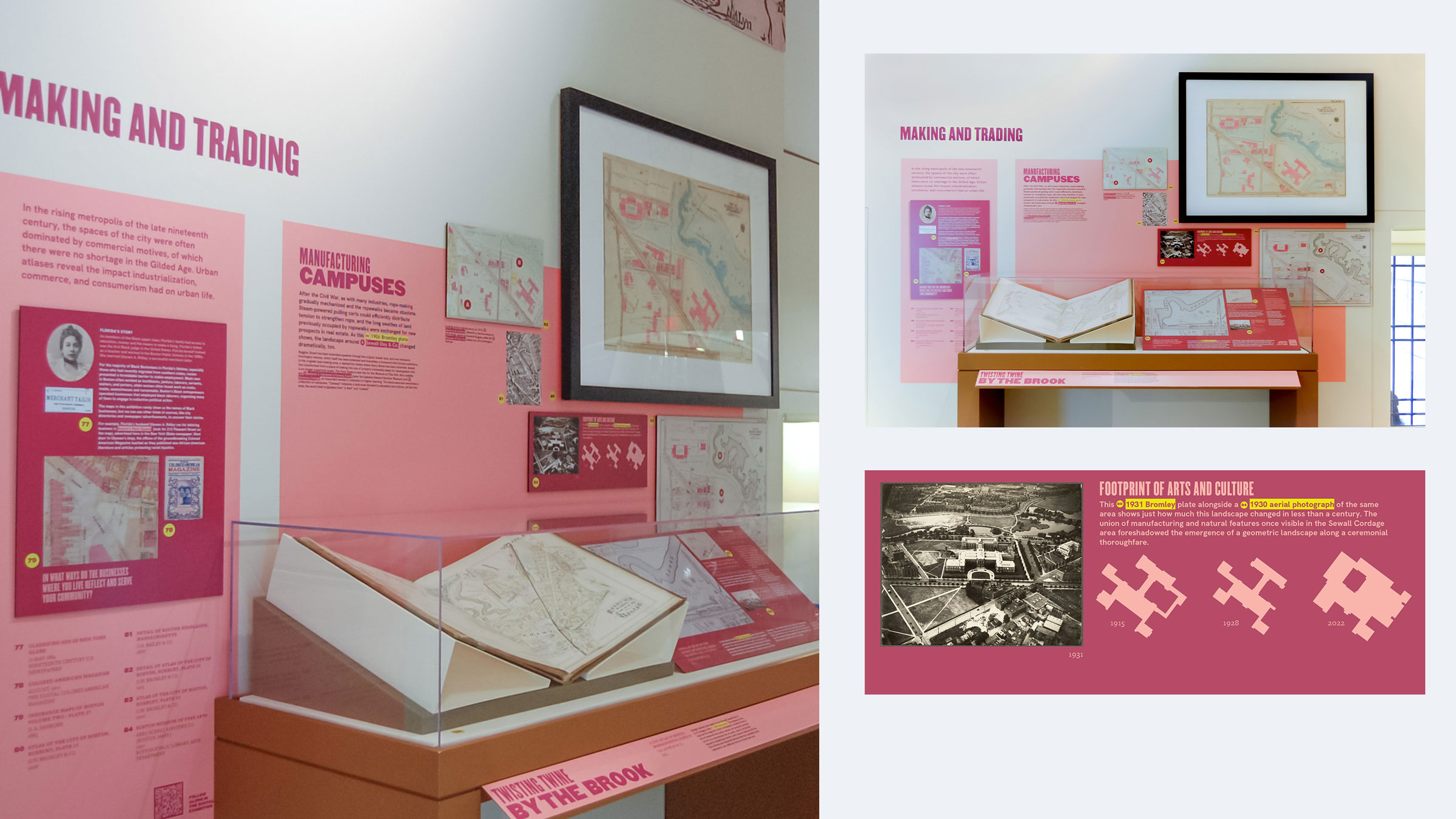
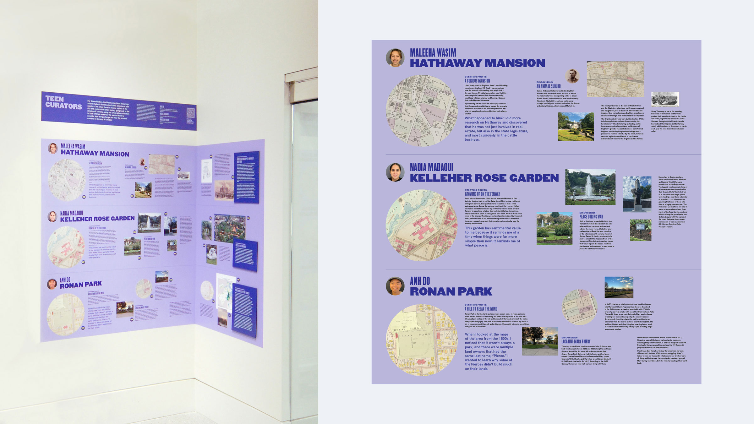
Building Blocks examines Boston’s urban transformation from the Civil War through World War II using historic urban atlases from the Leventhal Map & Education Center. Originally created for fire insurance and real estate, these maps document buildings, streets, and property at a granular scale. The exhibition pairs cartographic detail with archival objects and personal histories to make change visible at the level of blocks, buildings, and everyday life.
Summary
Sole exhibition graphic designer and design leadStudio
Joelle RiffleCollaborators
Laura Schmidt (Guest Curator), Garrett Dash Nelson and Emily Bowe (LMEC), Print House (Fabricator)Deliverables
Exhibition graphic system, interpretive labels and wall text, maps and annotated graphics, timelines and object labels, spatial wayfinding and titlesClient
The Norman B. Leventhal Map & Education Center at the Boston Public Library is one of the nation’s most significant centers for the public study of historical geography.- View the Project